

ABOUT SOUTH KAMLOOPS AND DOWNTOWN
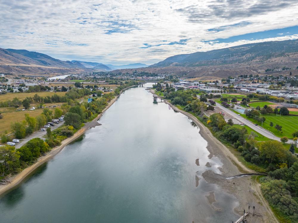
South Kamloops is the south shore of the Thompson River, from the downtown core along Victoria Street through the West End and the residential streets toward Columbia Street. The City's Downtown Plan area had about 9,460 residents in 2016, and the West End became part of Kamloops in 1893.
Housing runs from homes about 100 years old to condo and office towers, with heritage houses in the Upper West End, many built between 1910 and 1925. Royal Inland Hospital is on Columbia Street, Riverside Park and the Rivers Trail follow the river, and Lower Sahali is just up the hill.
SOUTH KAMLOOPS LISTINGS




South Kamloops and Downtown
Neighbourhood Guide
Practical answers on South Kamloops and downtown from a third-generation Kamloops REALTOR with 18 years in construction, who looks at a 1912 house and a new condo differently.
Contact JeremiaWhere is South Kamloops?
On the south shore of the Thompson River, opposite North Kamloops. The Overlanders Bridge connects Victoria Street to the North Shore, and the Lansdowne Exchange downtown is the hub for many BC Transit routes.
Who lives in South Kamloops?
People who want to be close to work, services and the river: hospital and university staff, students near TRU, downsizers moving into condos, and owners of older character homes in the West End.
What is the lifestyle like?
Walkable and central. Riverside Park has a beach and the Rotary Bandshell, and the Rivers Trail runs along the river. The Kamloops Farmers' Market runs Saturdays on St. Paul Street from mid-April to the end of October.
What are the properties like?
Condos and apartments downtown, older single-family homes and duplexes on the grid, and heritage homes in the Upper West End. The City has kept a Heritage Register since 2007, so check whether a house is on it before you plan changes.
Schools and services
Beattie Elementary on McGill Road, École Lloyd George Elementary on Pine Street and South Kamloops Secondary on Munro Street are in the area, and St. Ann's Academy is an independent option. Stuart Wood Elementary closed in 2016. Confirm the catchment for a specific address with School District 73. Royal Inland Hospital is at 311 Columbia Street.
Discover South Kamloops
Things to Do & See

Riverside Park
View Activities
Rivers Trail
View Activities
Peterson Creek Nature Park
View Activities
Riverside Park Skating Loop
View ActivitiesCommunities Near South Kamloops
See every Kamloops neighbourhood on the Kamloops page.
Photos via Wikimedia Commons: Downtown Kamloops skyline by Acmacaulay, CC BY-SA 4.0; Path to Peterson Creek by Sashathedoge, CC BY-SA 4.0.


WHAT MOST PEOPLE DO NOT THINK TO ASK
Downtown and the West End sit above the river, and the sampled downtown lots show no 200-year floodplain coverage on the City's property reports, but the Riverside Park dike is built for a 1 in 20 year flood. Look up the exact address on the City of Kamloops Property Information Report before you write, and ask your insurer about overland flood coverage near the river.
CP rail lines run east to west through downtown, so stand on the property when a train goes by. In a 100 year old house, look at the wiring, the plumbing and the foundation, and in a condo read the strata minutes and depreciation report. I have 18 years in construction and I am not a licensed home inspector, so I will tell you when to bring one in.
Huxley
Jeremia Huxley is a REALTOR with Stonehaus Realty Corp., based in Pinantan Lake, BC, who focuses on rural and acreage properties around Kamloops and works Kamloops neighbourhoods including South Kamloops. He has 18 years of construction experience and 9 years in real estate, and the two have overlapped for most of that time. He is not a licensed home inspector. Contact: 250-571-0379.
South Kamloops FAQ
REAL ESTATE INSIGHTS
Buying or selling rural property raises questions that city listings never do: wells, septic, who plows the road, what the ALR allows.
The blog takes them one at a time, in plain language, from someone who has lived on rural property since 2008.